
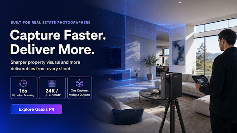


Real estate and architectural photography is no longer just about stills. Clients increasingly expect a walkable 3D tour, an accurate floor plan, and sometimes a point cloud or CAD file an architect can use, all from the same site visit. That shift has opened a genuine growth path for photographers, but it depends on choosing the right kind of hardware, since a standard 360 camera and a professional 3D LiDAR camera solve very different problems.
A 360 camera captures a single spherical image and is fine for a basic virtual tour, but it typically has no real measurement capability, so floor plans and spatial data have to be estimated. A LiDAR camera is different: it uses laser-based distance measurement to capture accurate spatial data alongside the visuals, which is what makes dense point clouds, precise floor plans, and CAD-ready outputs possible from a single scan.
What to look for
Before choosing a device, it’s worth working backwards from the deliverable rather than the spec sheet. Photographers taking on premium residential, commercial, retail, hospitality, architecture, or interior work should look for four things: scanning range and accuracy that hold up in larger or more complex spaces, image quality good enough for close-up marketing detail as well as wide shots, capture speed that keeps a shoot commercially viable, and the ability to generate multiple outputs (tours, floor plans, point clouds, CAD, panoramas) from one visit rather than needing separate tools for each.
Where Galois P4 fits
The Realsee Galois P4 is built around that last point. It’s a professional 3D LiDAR scanner that pairs a 905nm LiDAR, rated to a 100-metre range at around 125,600 points per second with accuracy within roughly ±10mm at up to 15 metres, with a 4/3-inch CMOS sensor producing panoramic output of up to 300 megapixels at 24K visual quality, including 8x lossless zoom for texture and finish detail. Capture is fast for a system with this level of spatial data: Realsee states around 16 seconds per scan point, with blind capture from the device’s own touchscreen and co-capture across multiple units for larger sites.
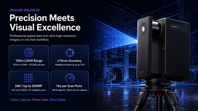
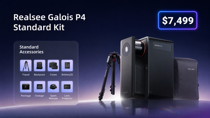
The practical business case is in the outputs. A single Galois P4 scan can generate a 3D virtual tour, E57 and PLY point clouds, 3D models, CAD-ready files, RAW images, and floor plans, meaning a photographer already booked for a shoot can offer point clouds to an architect, CAD files to a contractor, or a hosted digital twin to an agent, without a separate booking or a different device. Realsee’s software runs on a pay-as-you-go credits model rather than a mandatory subscription, which is worth weighing against subscription-based platforms like Matterport when working out the real cost of adding a spatial capture service. The standard kit is priced at $7,499.
For photographers currently selling photo packages, that combination of accuracy, speed, and multi-format output is the difference between offering a virtual tour as an add-on and offering spatial capture as its own line of business, particularly on commercial, hospitality, and architectural jobs where clients often need more than a tour. Full specifications are available on Realsee’s Galois P4 product page, and photographers weighing the shift into LiDAR-based capture can find workflow-specific guidance on Realsee’s real estate photographer page.