
How many times have you been asked: ‘where was that taken?' Geotagging works by endowing your camera with data from a GPS receiver...
How many times have you been asked: ‘where was that taken?’ Geotagging works by endowing your camera with data from a GPS receiver, theoretically enabling you to tag an image at the time it was taken with the co-ordinates of the camera’s global position. Advanced systems may also record altitude. Cameras with built-in GPS receivers are being experimented with by several manufacturers, but so far it has mainly been the preserve of pro photographers using external receivers attached to their DSLR.
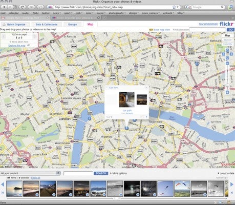
Several online sites, such as Google Maps and Flickr, now utilise geo-tags. Sony’s GPS CS1KA device plugs into your computer’s USB port and works with provided software to tag your shots, while ATP’s PhotoFinder solutions tag images on memory cards using a modified card reader.
The problem with conventional GPS receivers is that they have to ‘warm up’, or detect and synchronise with GPS satellites that are in view in the sky. This can take several minutes, by which time the moment may have passed. A company called Geotate may have developed the answer, though. Their device takes a snapshot of all the GPS data, processing the positioning information later, and is ready in seconds of being powered up.