
UKAerialPhotos.com has launched a website that provides a bird's eye view of much of Britain from World War II to present day.
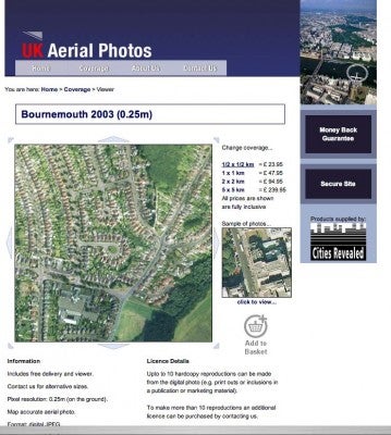
UKAerialPhotos.com has launched a website that provides a bird’s eye view of much of Britain from World War II to the present day.
The imagery is derived from RAF photographic sheets that were previously
subject to censorship – with many military sites removed or clouds
painted over secret installations. These locations can now be seen in their entirety thanks to efforts made into uncovering the MOD sites and replacing the censored material. This research, undertaken by UKAerialPhotos.com’s partner, The GeoInformation Group, means the records now provide what the website is calling ?a breadth of detail not accessible via traditional offline resources.?
Spokesperson, Christine Bool, says: “The growing interest in local history and genealogy has given us added impetus to make this fascinating historic photography available to a wider audience, and provide an insight into wartime and post-war Britain. For example it is possible to see military bases in certain city parks, docks full of steam-powered shippingand northern factories belching out smoke from brick chimneys. The comparison with modern Britain is startling.” Users can search by town, village, postcode or map grid reference.
Imagery can be previewed for free, with more detailed photos available to purchase. Digital imagery can be downloaded and used in graphics packages or printed out. More imagery from hidden archives will be revealed to expand the online archive in the coming months and years. Visit www.ukaerialphotos.com to view the images for yourself.